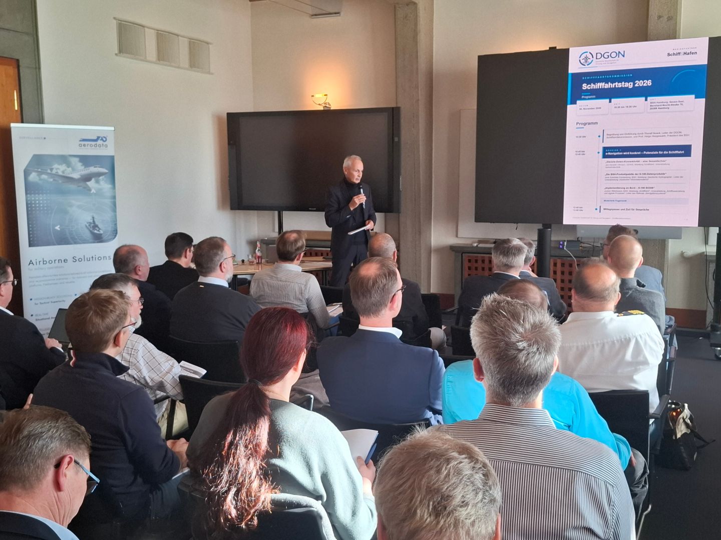
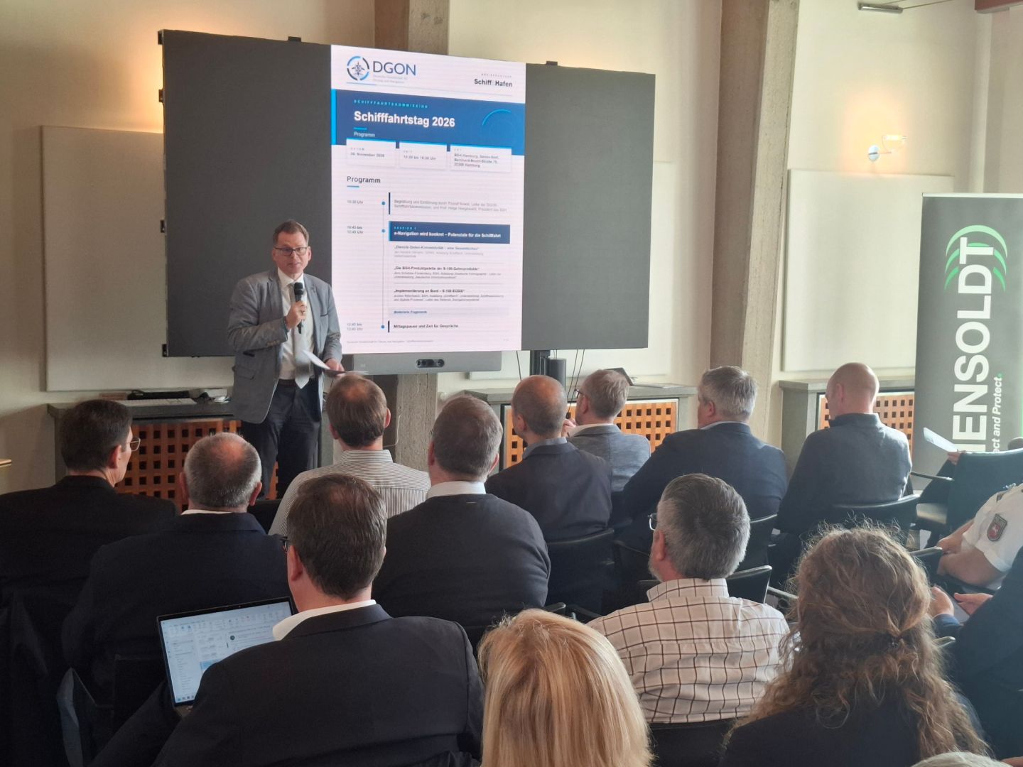
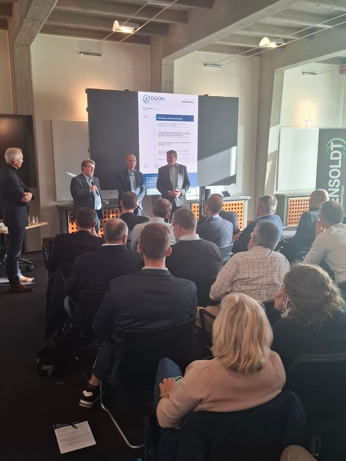
70 participants gathered at the BSH in Hamburg to discuss digital maritime services, S-100 data products, integrated bridge systems, cybersecurity and retrofittable autonomy Hamburg/Bonn, 9 November 2026. DGON Maritime Navigation Day Highlights the Next Steps in Digital Navigation
How can digital maritime services, reliable data and secure communication channels be brought together to create a high-performance integrated system on board? This question was at the heart of the fully booked DGON Maritime Navigation Day 2026, held on 5 November at the Federal Maritime and Hydrographic Agency (BSH) in Hamburg. Around 70 experts from public authorities, academia and the maritime industry discussed the current state of implementation and the next steps in digital navigation.
The President of the BSH, Prof. Dr. Helge Heegewaldt, welcomed participants in the Gauss Hall. He emphasised the importance of reliable navigation in the face of cyberattacks and disruptions to satellite-based systems. He also stressed the need to consistently translate research projects into practical applications and sustainable operational services. The Maritime Navigation Day took place during the 75th anniversary year of the German Institute of Navigation (DGON).
Thoralf Noack, Head of the DGON Maritime Navigation Commission and Technical Organiser of the event, placed the systems perspective at the centre of the discussion: “Today, progress in the maritime sector is no longer driven by individual innovations, but by interconnected systems. Data and artificial intelligence are playing an increasingly important role. Digitalisation becomes tangible when it is usable, secure, interoperable and trustworthy.”
Noack thus highlighted the key questions of the day: How can new functions be integrated safely? How can crews maintain control over complex systems? And which standards are needed to support the transition into operational use?
Digital Navigation: Integrating Services, Data and Connectivity
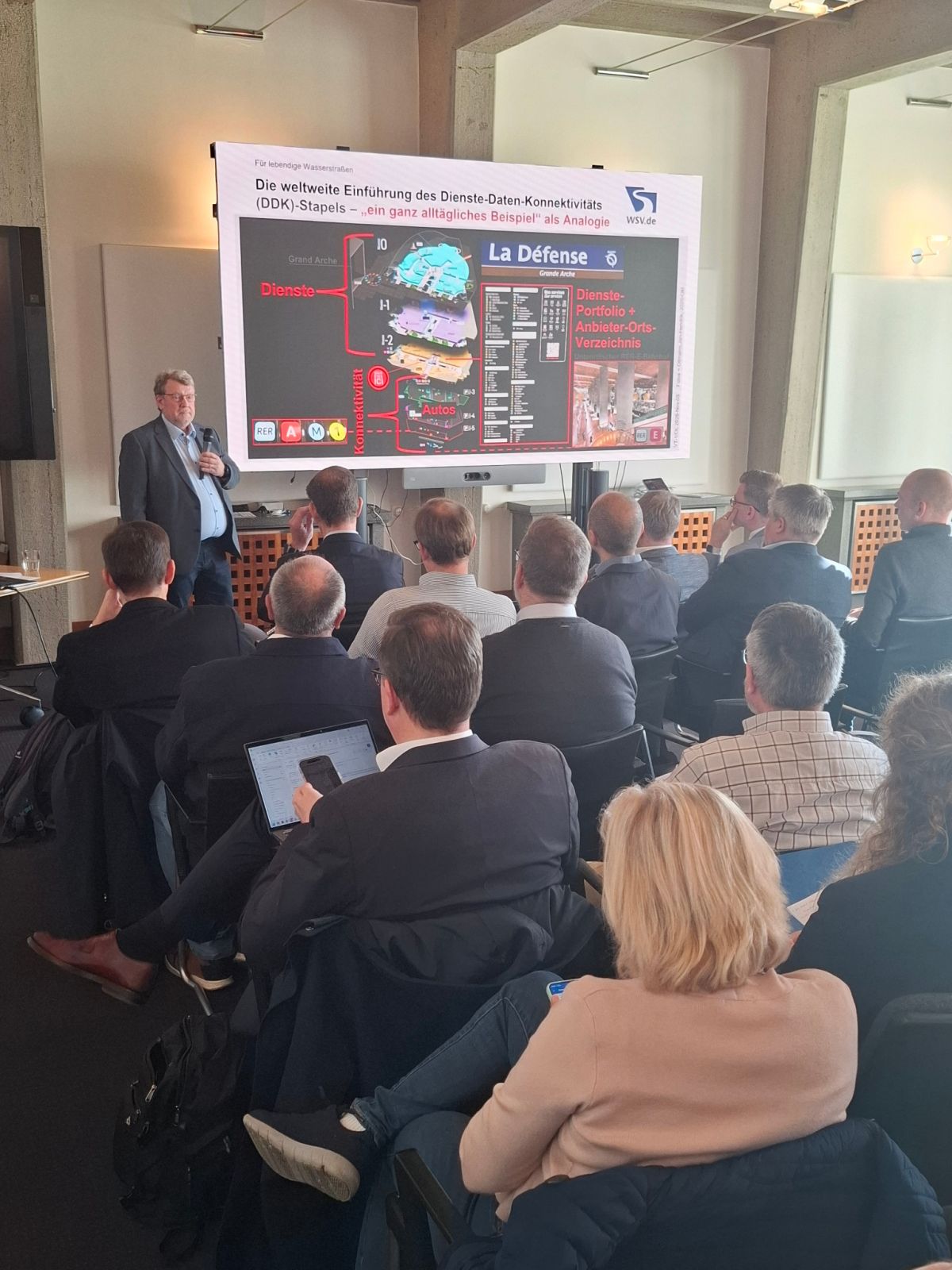
In the first session, Jan-Hendrik Oltmann from the Directorate-General for Waterways and Shipping demonstrated that digital maritime services can only function effectively when supported by consistently described data and suitable connectivity. He presented the services-data-connectivity model developed by the International Maritime Organization (IMO) and other international organisations.
The model links digital vessel traffic, nautical chart, weather, ice information and maritime search and rescue services with the corresponding data products and secure communication channels between shore and ship. For coastal states, this creates the task of clearly describing their digital services and providing them through coordinated service portfolios.
Jens Schröder-Fürstenberg, Head of the Nautical Information Service at the BSH, presented the growing range of products based on the S-100 framework. In addition to electronic navigational charts, these include high-resolution bathymetric data, water levels, currents, traffic information, protected areas and dynamic ice information.
To support these developments, the BSH is working on processing and harmonising its source data and establishing new production and distribution processes. The presentations also made clear that S-100 does not refer to a single product but provides a common framework for numerous interoperable maritime data products.
Jochen Ritterbusch, Head of the Navigation Systems Division at the BSH, explained how these developments are being implemented in a new generation of Electronic Chart Display and Information Systems (ECDIS).
The new IMO performance standards have applied alongside the existing requirements since 1 January 2026. From 2029, newly installed systems are expected to comply exclusively with the new requirements.
Additional official data will make it possible, among other things, to define safety contours more precisely according to a vessel’s draught and incorporate current water-level information. Further functions include standardised route exchange between ship and shore, verification of data currency and improved protection during data exchange.
Industry and Research: Balancing Integration and Operational Control
The second session focused on implementation in commercial products and research projects.
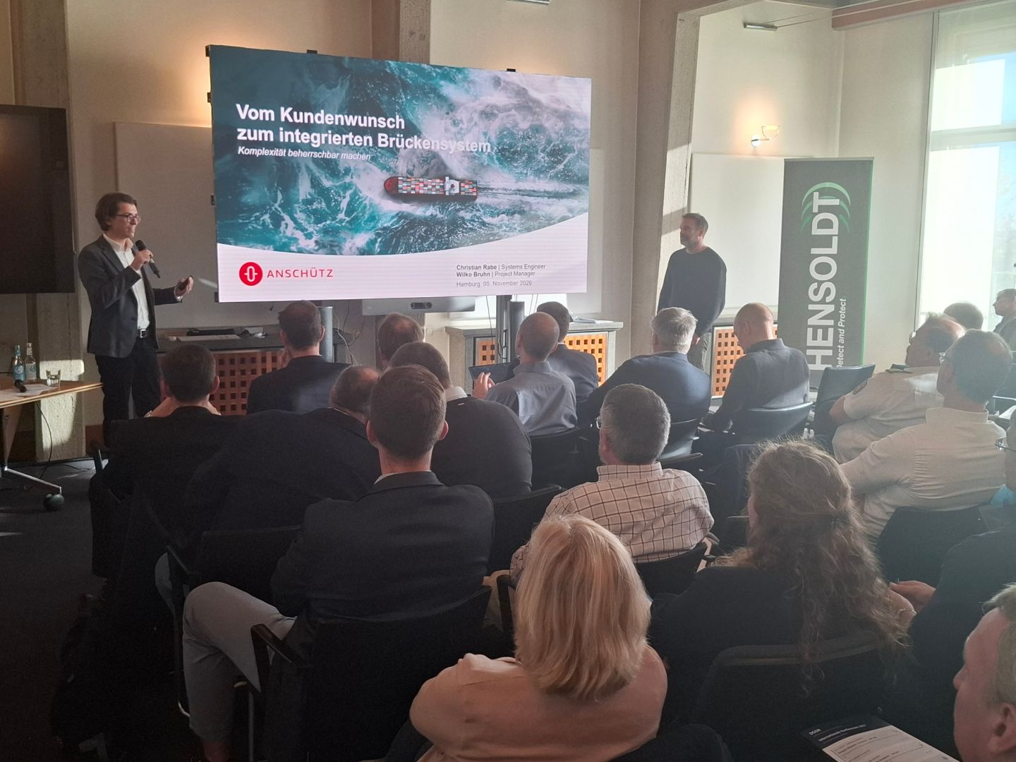
Christian Rabe and Wilko Bruhn from Anschütz outlined the process from customer requirements to a certified integrated bridge system. Multifunctional workstations, consistent data processing and centralised alarm management provide a coherent and reliable situational overview.
At the same time, requirements concerning interfaces, documentation, certification and the integration of existing systems are becoming increasingly demanding. These challenges are accompanied by mandatory cybersecurity requirements for new ships ordered since July 2024.
Maxim Looije from NACOS Marine illustrated the evolution of system integration from analogue and serial connections towards Ethernet networks.
Networked systems enable more comprehensive distribution and validation of navigation data, but require considerably greater specialist expertise for installation and troubleshooting. Alongside technical reliability, intuitive user interfaces, training and cybersecurity are therefore becoming increasingly important.
Jörg Zimmermann from Alberding GmbH extended the discussion to inland navigation. He presented applications involving precise satellite-based positioning and communication, including smart buoys and research into automated transport operations on waterways.
Experimental platforms are being used to test connectivity with other vehicles and infrastructure, simultaneous localisation and mapping (SLAM), object recognition and the prediction of other vessels’ movements.
Dr.-Ing. Matthias Steidel from the DLR Institute of Systems Engineering for Future Mobility used the example of a survey vessel to demonstrate how autonomous functions can be retrofitted to existing ships using a modular approach.
Rather than reassessing the entire existing vessel, his approach aims to qualify the newly integrated functions and their secure interfaces step by step.
Human operators initially remain involved as a fallback, either on board or at a remote control centre. Pilot applications are also intended to provide experience to support future regulations for autonomous vessels.
Practical Applications and DGON’s Future Work
The discussions highlighted a common conclusion: Digitalised shipping does not depend solely on new data formats or individual devices.
What matters is the coordinated interaction of services, reliable official data, secure communication channels and systems that crews can continue to operate safely even in the event of disruptions.
Several presentations also underlined the need for training, demonstrators and real-world testing environments.
A guided tour of the BSH, including a visit to the navigation laboratory, concluded the technical programme.
The DGON Maritime Navigation Commission will continue to address the topics discussed, particularly the practical introduction of the new data environment, cybersecurity and resilience, personnel training, and the transition of research approaches into routine operations.
DGON would like to thank the BSH and its President, Prof. Dr. Helge Heegewaldt, for their hospitality, as well as the entire BSH team for their excellent organisational and technical support.
Special thanks go to Milena Potocki for supporting the event on site. The Maritime Navigation Day was also supported by HENSOLDT and Aerodata.
About DGON
The German Institute of Navigation (DGON) has brought together experts from academia, industry and public administration since 1951.
It promotes professional exchange in positioning, navigation and transport systems and organises specialist committees, workshops and international conferences.
Press Contact
Robert Pomes, MBA · Managing Director
German Institute of Navigation (DGON)
Kölnstraße 70 · 53111 Bonn, Germany
r.pomes@dgon.de · www.dgon.de · Mobile +49 1514 1809196